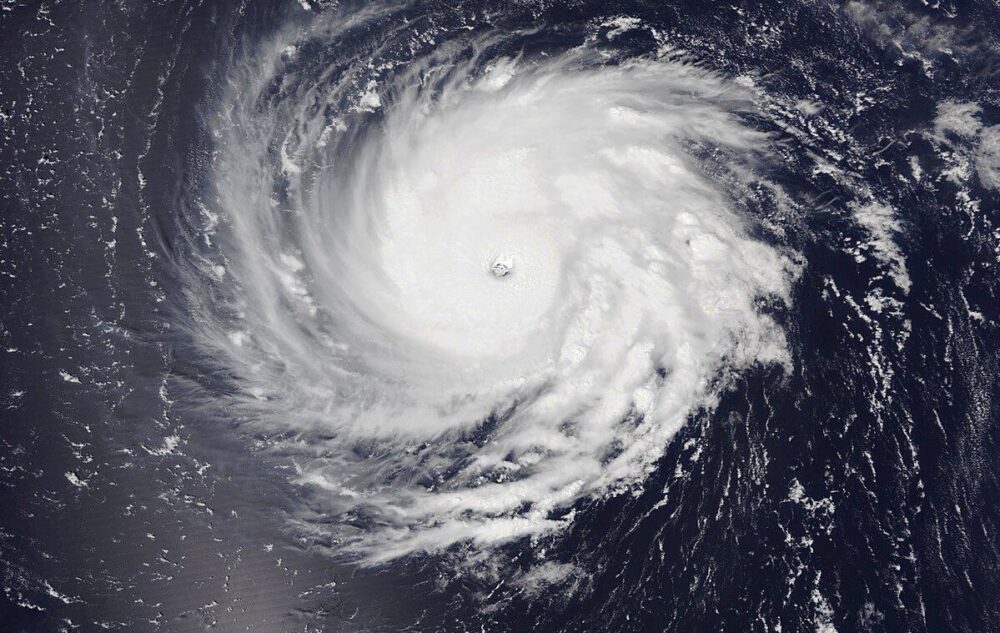
Hurricane Ian started its journey through Cuba where it made landfall as a CAT 3 early Tuesday morning. Hurricane Ian caused massive destruction, and completely dismantled the nations power grid. The entire nation was then without power, leaving 100% of its residents in the dark.
Then the storm traveled north towards the United States. Hurricane Ian made landfall on the Florida coast as a strong CAT 4 hurricane around 3 PM. This was the 5th strongest hurricane by definition of windspeed to ever hit the US in history. The devastation is extreme. Search and rescue are still at this moment making their way out to find people in the midst of everything. Flood waters and immense amounts of debris have made roads impassable. Reports show that this hurricane causes a “500 year flooding event”. The only rescue that can be done is by boats and helicopters. Hundreds of square miles of Florida land has been battered by this storm, and recovery could take months. Here are a rundown of some Hurricane Ian stats:
Landfall Location = Cayo Costa (close to Fort Myers FL)
Ian Max Sustained Winds = 155 mph
Ian Max Wind Gusts = ~176 mph
Lowest Pressure = 940 mb
Width of Hurricane = 180+ miles
Power Outages = ~2.6 million
Casualties = ~13+
We won’t know the finals on many numbers until later this week, including the death toll. Many reports are saying they fear hundreds are dead, and that this is the “deadliest hurricane in Florida’s history”. Many tornadoes were also reported with Hurricane Ian. Not all were able to be spotted and reported due to the horrible conditions outside, but at least 12 tornadoes were confirmed. See more about Ian here.
Where’s the Hurricane going next?
Hurricane Ian currently is a tropical storm just off of the east coast of Florida in the Atlantic Ocean moving N/NW expected to restrengthen to a Cat 1 later. It is expected to make landfall around Charleston South Carolina on Friday morning/afternoon and produce storm surge up to 6 feet around coastal areas of Northern Georgia, South Carolina, and North Carolina. See more updates here.
Become a TWC Member today for FREE!
Support Texas Weather Center
Join the TWC Membership through Patreon to show your support and keep TWC high quality and FREE!
Texas Weather Center Supporters
🥉Kathryn
🥇David Bass
🥉cslewis1234
🥉Robert Fasulo
🥈Carol